UFC 4-150-06
12 December 2001
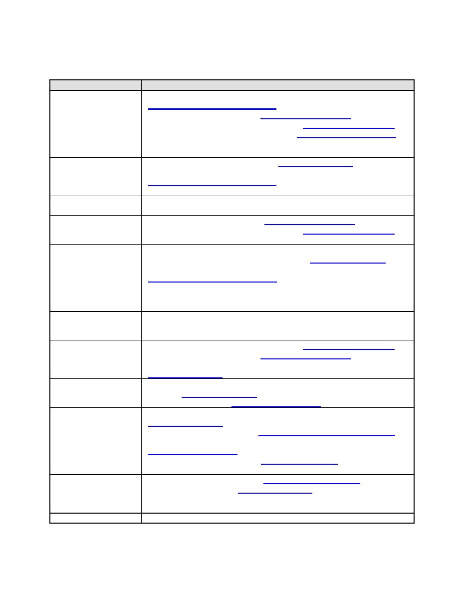
Table 5-2 Informational Sources for Harbor Site Selections
Data Required
Sources
Underwater
National Imagery and Mapping Agency NIMA
Bathymetry
National Ocean Survey - NOS (http://www.nos.noaa.gov),
U.S. Naval Oceanographic Office - NAVO (http://www.navo.navy.mil),
U.S. Army Corps of Engineers - USACE (http://www.usace.army.mil/),
local Government Public Works and/or Hydrographic Survey Offices;
where such is not available, survey is required.
Upland Topography
U.S. Geographical Survey USGS (http://www.usgs.gov),
National Imagery and Mapping Agency NIMA
local Government Public Works mapping offices.
Subsoil
Borings, probings, or seismic survey; use diver for preliminary
Characteristics
Astronomical Tides
National Ocean Survey NOS (http://www.nos.noaa.gov),
U.S. Naval Oceanographic Office - NAVO (http://www.navo.navy.mil;
observation at site.
Storm
Site history. Probability forecasts for some areas have been prepared
by U.S. Army Corps of Engineers USACE (www.usace.army.mil) and
Surge/Tsunamis
Federal Emergency Management Agency, Storm Watch
review available tide records (marigrams) to compare predicted
astronomical tide to measured water levels during storm or tsunami
occurrences.
Seiche
Historic experience in general area including marigram inspection can
provide some indication of potential activity; long-term observations at
site are desirable.
U.S. Naval Oceanographic Office - NAVO (http://www.navo.navy.mil),
National Ocean Survey - NOS (http://www.nos.noaa.gov),
Pilot Manuals, U.S. Geological Survey USGS, for riverine currents
Meteorological
Weather Bureau - National Oceanic and Atmospheric Administration
(NOAA), (http://www.noaa.gov); Fleet Numerical Meteorology and
Characteristics
Oceanography Center (http://www.fnoc.navy.mil).
Waves
(http://www.noaa.gov);
National Climatic Data Center, http://lwf.ncdc.hoaa.gov/oa/ncdc.html;
Fleet Numerical Meteorology and Oceanography Center
U.S. Army Corps of Engineers (http://usace.army.mil);
WIS Reports see references.
Sedimentation/Erosion
U.S. Army Corps of Engineers, (http://www.usace.army.mil),
U.S. Geological Survey, (http://www.usgs.gov);
analysis of shoreline and hydrographic changes in comparison of
successive surveys from initial to present conditions.
Fouling Conditions
Observations at site; consultation with local residents and authorities.
5-3


 Previous Page
